

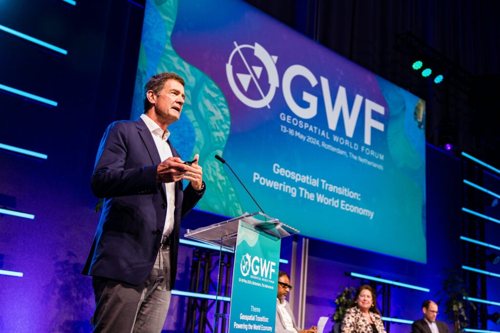
Earlier this month, almost one thousand people from over 85 countries convened at the Geospatial World Forum (GWF) in Rotterdam for four days of meetings, discussions, and workshops on geospatial policy and practice. One key thread was about Spatial Data Infrastructures (SDI), focusing on the challenges of establishing coherent models and the possible solutions.
 Overture Maps supports GWF as a sponsor because of the deep connection between open map data and the geospatial community’s global needs. In the last decade, the surge in spatial data has driven a corresponding increase in spatial applications and analysis. This is a good thing. It helps countries understand the impact of changing demographics, enables environmentalists to gauge the impact of ecological changes, and allows commercial companies to deliver new services to users. But it has a downside: this data explosion has also made data management and conflation more difficult, particularly for less resourced organizations. For data creators, adoption becomes difficult since the data must be adapted to different schemas and base layers.
Open spatial data can become the backbone
Open map data can help organize this. Overture’s vision for a realigned spatial data infrastructure is based on two key components:
- Open, highly accurate base layers: These layers should be accurate, complete and up-to-date for a specific data theme such as transportation, buildings, or administrative boundaries. These base layers should focus on completeness and accuracy, not richness…richness comes from data attached to the base layer. Ultimately there should be an open base layer for each of the common spatial data themes. The UN Global Geospatial Information Management model describes fourteen “fundamental” themes. There are more depending on the use cases, for example Points of Interest for Local Search. Open licensing is crucial for these base layers to be usable by any organization without restriction. National Mapping Agencies (NMAs) and other organizations with high accuracy spatial data can direct that data to one place from which it can be connected to other data to form a worldwide base layer, available to everyone. These are best licensed under permissive open licenses to reduce friction in use.
- An open reference system: This system allows spatial data to be uniquely and easily added to base layers to build applications, analysis and services. Overture calls this the Global Entity Reference Service or GERS. While there are other entity reference systems that exist in various data services, GERS provides unique capability for a coherent infrastructure backbone by being:
- Global: cutting across country data sets to give a global standard.
- Open: shared and transparent, without unique benefit to any single company.
- Tied to map features: data can be attached to specific features (e.g. a building, address, etc.) versus a spatial polygon. This allows the data to be uniquely and easily attached.
These two components, open base layers and an open reference system enable an ecosystem where many types of spatula data, both open, commercially licensed or private to an organization can be pulled together, conflated and used to build rich applications or data for analysis.
How NMAs can work with Overture
In Rotterdam, we talked to many organizations and national mapping agencies about Overture and the ways in which Overture can support their goals. NMAs make data open so that it will be used and, in being used, have increased impact. Overture, as an open spatial data project, can integrate open data from many sources and output it as a worldwide dataset with an uniform, documented schema. This data can then be used by many organizations and result in services used by billions of people around the world. As the data is used, we expect that users will give feedback on the data helping to correct errors and update the data to reflect the changing physical world. Overture’s goal is to provide that feedback to the original data sources.
Organizations with high accuracy open data can work with Overture Maps in one of the following ways.
- Work with Overture to integrate open data into open base layers. We currently have five base layers that are worldwide and released on a monthly basis. These are for transportation networks, buildings, administrative boundaries, places of interest, and the base theme that includes land and water data. NMAs (or regional or municipal agencies) with open data in these themes should contact Overture to become part of this worldwide open backbone.
- Associate data to Overture base layers via GERS. This allows users to easily conflate data to the base layer, facilitating its use. Data associated through GERS can be open, commercially licensed, or private. We have designed it as a way that rich data can supplement the base layers and it is not restricted to open data, accommodating what we believe will be a near infinite number of data sets.
- Join Overture: The Overture Maps Foundation is responsive to the needs of its members. , Priorities and targets for the project will depend on members’ ideas, creativity and data contributions. Today, Overture supports five data themes. There are many more themes to tackle. If your organization would like to be part of setting our direction, membership in Overture is the way to do that.
If you would like to talk further about Overture Maps Foundation, our goals or how a mapping agency could work with Overture, please reach out to us here.