Overture Maps
Overture and the OpenTravel Alliance: Enabling the Future of Travel with Open Data
Overture is collaborating with the OpenTravel Alliance (OTA), which recently joined the Linux Foundation and Overture as a member, to solve a long-standing challenge in the travel industry: data interoperability. For years, the travel sector has struggled to standardize location data for hotels, attractions, and other points of interest across a complex ecosystem of providers.
Understanding Overture’s Global Entity Reference System
Today, Overture Maps Foundation announced the general availability of the Global Entity Reference System (GERS). GERS provides common, open, accessible IDs for geospatial entities like buildings, places, and roads, making...
Overture Maps Launches GERS, a Global Standard for Interoperable Geospatial IDs, to Drive Data Interoperability
Unique IDs make it easier and cheaper to attach data to geospatial entities, such as buildings, streets, places, etc. SAN FRANCISCO, Calif.—June 25, 2025 — The Overture Maps Foundation, a collaborative...

Precisely Accelerates Data Integration with Overture GERS IDs
How Precisely’s Data Link program connects data from leading providers via unique ID systems, including GERS, to eliminate the “conflation tax” and unlock instant access to enriched location intelligence Precisely,...
Why We Chose GeoParquet: Breaking Down Data Silos at Overture Maps
In today's data-rich world, the geospatial community faces unique challenges in storing, processing, and sharing this data at scale. As mapping datasets grow in complexity and size, traditional file formats struggle to keep pace with modern cloud environments and distributed computing needs.
Overture Maps Foundation at GeoBuiz 2025: Eliminating The Conflation Tax on Geospatial Data
The geospatial industry faces a critical challenge: we're drowning in data but starving for efficient ways to use it. A recent panel at GeoBuiz 2025 revealed how open map data collaboration might be the solution we need.
Meta’s Adoption of Overture Maps: A Case Study
Meta, one of the founding members of Overture Maps Foundation, has successfully transitioned its suite of global basemaps used across apps such as Facebook and Instagram to Overture’s base data...
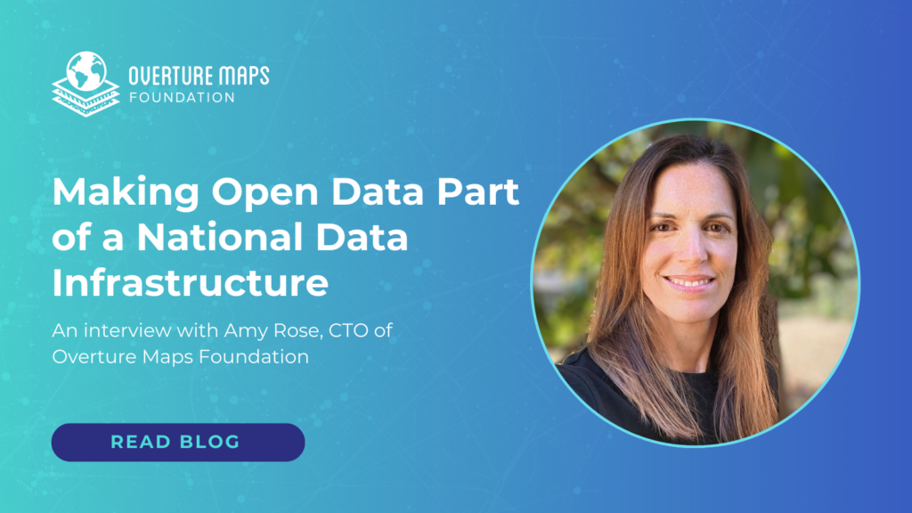
Making Open Data Part of a National Data Infrastructure
Amy Rose was recently named the first CTO of the Overture Maps Foundation (Overture) and will lead Overture’s work in making its datasets interoperable and accessible to all kinds of users. She has also recently been appointed to the federal government’s National Geospatial Advisory Committee (NGAC), where she’ll join others in advancing the mission of…