


We’ve long thought that we’re onto something big here at Overture. And now the rest of the world does, too.
I’m pleased to announce that Fast Company has recognized the Overture Maps Foundation as a winner in its 2025 Next Big Things in Tech competition for the Global Entity Reference System (GERS). We landed in the “Small and Mighty” category, which honors smaller teams achieving outsized impact through innovation.
This recognition belongs to everyone who’s contributed to Overture, our team, members, engineers, partners, and organizations who believed in our mission. You built GERS. You’re the ones solving real problems that have plagued geospatial data for years.
The award validates what many in this community have been saying all along: there must be a better way to handle spatial data.
 The entire Fast Company Next Big Things list celebrates technologies that reshape industries and improve lives. It is one of the most competitive and respected awards programs in media and technology.
Its recognition of what we’re doing signals that the benefits of open map data and data interoperability register not only in geospatial circles but in the mainstream, too. It also shows that a small, focused team, even with members who compete in other areas, can work openly together to build something foundational for the world’s geospatial ecosystem.
GERS tackles long-standing challenges in digital mapping, challenges that negatively impact companies, governments, consumers, NGOs, and more, in terms of money, time, and innovation.
Because spatial data is collected and described differently across organizations, integrating it often costs more than licensing it – what we dub a “conflation tax.” Many data teams also lack the tools or expertise to manage complex geospatial data conflation. This limits how much data they can incorporate into maps. Organizations spend weeks reconciling datasets from multiple sources instead of building richer, more dynamic applications.
GERS standardizes how spatial data connects, turning fragmented information into a shared global reference system that supports navigation, logistics, sustainability, risk analysis, and AI innovation.
Public-Private Collaboration That Works
This prestigious award follows our September win of a GeoGov Award for our role in strengthening interoperability within national spatial data infrastructures.
The GeoGov Awards celebrate excellence in location intelligence, data strategy, and cross-sector collaboration. Our recognition underscores how Overture’s open, multi-sector model helps to modernize how geospatial data is created, shared, and applied for societal benefit.
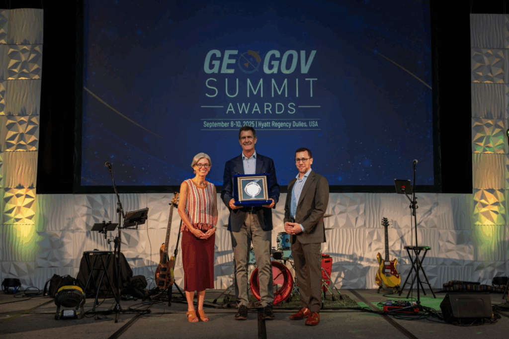 Our particular GeoGov award centered on our early work with the public sector to advance scalable geospatial solutions and promote service transformation in the public interest. The award was presented at the 2025 GeoGov Summit and reinforces the role Overture can play in strengthening National Spatial Data Infrastructures (NSDI) around the world.
“The goal of any national spatial data infrastructure is to make data findable, accessible, interoperable, and reusable, so it’s useful to everyone, including the public,” said Amy Rose, Overture’s CTO. “For that to happen, government assets should be augmented with data and expertise from the private sector and open initiatives like Overture. When public, private, and non-profit partners work toward a shared mission, we can build data infrastructure that truly delivers for all stakeholders.”
Looking ahead
Along with our member companies, we see GERS as a de facto standard for data interoperability. As more members use it, in conjunction with our base maps, we envision a world where data is made to be GERS-compliant from the get go.
The upshot is that global, open, and interoperable geospatial data will enable more organizations to create better, more connected products and services. Governments, nonprofits, and companies will be able to connect richer data easily to maps and perform deeper analytics, such as informing decisions about such things as disaster recovery and emergency response, transportation planning, land use and zoning, environmental monitoring, infrastructure investment across continents, and more without weeks of data reconciliation or vendor lock-in.
Together, the Fast Company and GeoGov recognitions affirm Overture’s mission to make open, reliable map data a shared foundation for innovation and progress worldwide. But the true validation lies in what the community builds with it, and the innovations made possible by this open approach.
Thanks to everyone who’s contributed to getting us here. And congratulations to all who’ve worked to this end.
The work continues, and nothing is ever too hard when we build together!
The future of mapping is open, collaborative, and built together. Join us in making it happen. Visit our website to learn more about our work and become a member.
Stay connected: follow us on LinkedIn, X, and Bluesky for the latest updates. Sign up for Overture’s monthly newsletter for the latest updates on our journey in transforming map data distribution.
Interested in using Overture data? Check out the Explorer tool, a no-code option for inspecting Overture data and metadata, the data guides for an overview of our six data themes, and the “Getting Data” section of our documentation.