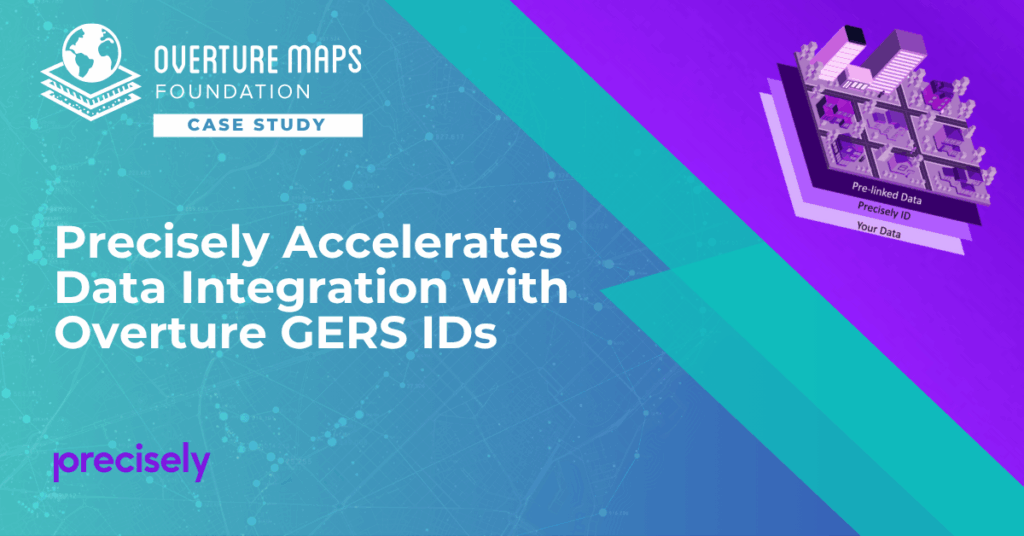
How Precisely’s Data Link program connects data from leading providers via unique ID systems, including GERS, to eliminate the “conflation tax” and unlock instant access to enriched location intelligence
Precisely, a global leader in data integrity with over 12,000 customers, including 93 of the Fortune 100, has integrated Overture Maps’ Global Entity Reference System (GERS) into their Data Link program. Data Link streamlines integrating datasets from multiple providers by connecting data from Precisely and other organizations via unique identifier systems. The connection Data Link establishes between GERS and Precisely’s unique IDs dramatically reduces the time and cost of integrating Overture Maps’ standardized and interoperable datasets with Precisely’s comprehensive data portfolio spanning properties, locations, markets, and more.
By pre-linking GERS IDs across Places, Addresses, and Buildings themes with their own unique IDs, Precisely transformed what traditionally required months of complex geospatial processing into instant, ID-based data connections. The results demonstrate how open, persistent, and connected ID systems can unlock value across the entire mapping ecosystem.
Solving the “Conflation Tax” Problem
Andy Bell, Senior Vice President of Global Data Product Management at Precisely, identified a critical industry challenge during the GERS Implementation Workshop at Geospatial World Forum 2025: organizations routinely spend more money onboarding external data than they do licensing it.
“A lot of time is spent selling our data to customers, going through evaluations, signing contracts, and then the customer has to figure out what to do with that data. Customers must ingest it, transform it, integrate it, store it, test it, and train their teams on how to use it effectively,” Andy explained. “All of that costs money.”
This “cost of onboarding” – what Overture calls the “conflation tax” – stems from the complex geospatial processing traditionally required to connect different datasets. Point-in-polygon operations, spatial joins, and address matching are computationally expensive, error-prone, and time-consuming processes that must be repeated for each new data integration.
 From Spatial Complexity to Simple ID Matching
Precisely solutions leverage their broader ID system and the PreciselyID, a unique and persistent identifier assigned to addresses through validation and geocoding services. By creating link tables between GERS IDs and Precisely’s unique IDs, they’ve eliminated the need for complex spatial operations.
The Technical Implementation:
- Link tables connect Overture GERS IDs (for places, addresses, and buildings) with Precisely’s internal ID system
- Users can start with a GERS ID and immediately access pre-linked Precisely data
- No spatial processing, point-in-polygon operations, or complex matching required
- Data remains connected through persistent IDs even as underlying attributes update
This approach aligns with Precisely’s broader Data Link program philosophy, which has already connected their data with providers like Dun & Bradstreet, Regrid, and GeoX through ID-based linking.
 Real-World Impact: Insurance Risk Assessment
Andy demonstrated the power of this integration through an insurance industry use case. Starting with a single GERS ID for a business location, an insurer can instantly access:
Property Intelligence:
- Building valuation and square footage
- Construction type and condition
- Parcel boundaries and ownership structure
Risk Assessment:
- Natural hazard exposure ratings (wildfire, tornado, flooding)
- Co-tenancy risks from adjacent businesses
- Historical claims data for the area
Demographic Context:
- Neighborhood demographics and geodemographic segments
- Household income patterns
- Population density and characteristics
“They might discover they’re insuring a legal business that’s located right next door to a chemical manufacturing facility,” Andy noted. “Those are the types of insights that connected data enables – understanding co-location risks that would be impossible to identify through traditional methods.”
The Data Link Approach: Connect Once, Use Everywhere
Precisely’s Data Link program demonstrates the transformative value of pre-linking datasets through the use of persistent IDs. By maintaining link tables between their PreciselyID system and partner identifiers – including Dun & Bradstreet’s DUNS number, Regrid property IDs, and Overture’s GERS IDs – Precisely has created an ecosystem where data integration happens once, centrally, rather than repeatedly by each customer.
“We both have the same philosophy around how you can help reduce that cost,” Andy noted, referring to the alignment between Precisely and Overture. “And that is by the use of unique and persistent IDs.”
The addition of GERS IDs to Precisely’s Data Link program extends this pre-linked ecosystem to Overture’s open map data. Andy emphasized how Overture provides a comprehensive base map foundation, while Precisely adds layers of enrichment data on top. This integration enables Precisely customers to use GERS IDs as a common reference point for accessing their full range of data products – from property valuations and risk assessments to demographic insights and business intelligence – all without complex spatial processing.
“Customers can easily leverage the connected data they need from Overture and Precisely to solve critical business challenges, develop cutting-edge applications, and make more informed decisions,” as Precisely’s slide summarized. “Better data. Better insights. Better together.“
 By investing in pre-linked data infrastructure, companies like Precisely are eliminating traditional barriers to location intelligence, making sophisticated spatial analysis accessible to organizations across various sectors, including retail, manufacturing, insurance, telecommunications, and the public sector.
Connect your data to GERS today
- 🤝 Work with Precisely
- Learn how Precisely’s Data Link program can help you leverage GERS IDs to access pre-linked location intelligence data. Contact: Mark Wilkinson (Mark.Wilkinson@precisely.com), Senior Product Manager
- 🛠 Do it yourself
- Get started with the GERS tutorial.
🔍 Want to learn more about GERS?
Read our GERS Deep Dive blog to understand how the system works.
🌍 The future of mapping is open, collaborative, and built together.
Join us in making it happen.
