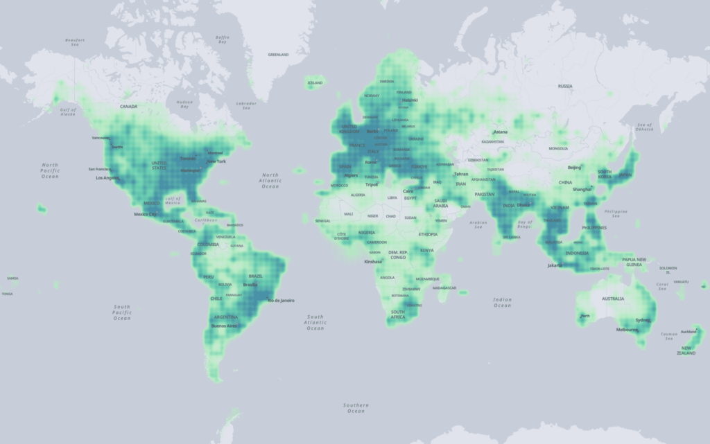
Overture 2023-07-26-alpha.0 is a first-release version of open map data, establishing a baseline for future releases by the Overture Maps Foundation. The data is available for use under the designated licenses for each theme. While Overture intends to release open map data on a regular cadence in the future, the date of subsequent releases has not been established yet.
We would like feedback on the data, its usefulness, and how it could be improved. Please use this Github repo for discussions and feedback related to this data release.
Accessing the data:
Overture 2023-07-26-alpha.0 is formatted in the Overture Maps schema described here. It is available in cloud-native Parquet and stored on AWS and Azure. Users can select the data of interest and download it by following the process outlined here.
Overture 2023-07-26-alpha.0 is being released in four themes:
Places Theme:
The Places theme includes Point of Interest (POI) Data on approximately 59M places worldwide. Place records include the name, address, pin location, category, and social media handles to the extent these are available. The data also includes a confidence score for each record. The sources of the Places theme include Meta and Microsoft Places data. The Places data is formatted in the Overture Maps schema for Places.
Data in the Places theme is licensed under CDLA Permissive 2.0.
Buildings Theme:
The Buildings theme includes building footprint and height data as available. It includes approximately 785M building outlines worldwide. The sources include OpenStreetMap, Microsoft Building footprints, and Esri Community Partners. Some building heights have also been derived using lidar from USGS 3DEP. The Building data is in the Overture Maps data schema for Buildings.
Data in the Buildings theme is licensed under ODbL.
Transportation Theme:
The transportation theme includes road network data based on OpenStreetMap. This release is a demonstration of our Shape and Connectivity model of the transportation network and also showcases how Geometric Scoping (LR) interacts with a subset of the final properties. The data has been put into the Overture Maps data schema for transportation. As such, the data has been re-segmented and structured with some conditional attributes. For example, scoping dimensions related to speed limits have geometric scoping when speed limits change along a road segment.
NOTE: The data includes some provisional Global Entity Reference System (GERS) data which is used to express relationships between road segments. This may not be representative of the final GERS format and should not be the basis for long-term development work.
There are several missing properties in this data release that will be added in future releases:
- Only includes road segments made from Ways that include a ‘highway’ tag
- Non-geometric scoping properties are not included
- Turn and Access restrictions are not included
- Lane information is not included
- Some language/scripts are not included in names properties
Data in the Transportation theme is licensed under ODbL.
Administrative Boundaries (Admins) Theme:
The Admins theme includes administrative boundaries for Level 2 (country-level) and Level 4 (first-level subdivisions under the country) worldwide. Admin records include the translated names for regions in ~40 languages, Context and Sources, and placeholder GERS IDs. The sources of the admin theme are Esri and TomTom. The Administrative Boundary data is in the Overture Maps data schema for Admin.
NOTE: Placeholder GERS IDs are populated in the data. These are needed to populate the Context property which points to another admin entity. For example, the Context property of Washington state feature has the GERS ID of the United States entity as value. This may not be representative of the final GERS format and should not be the basis for long-term development work.
Data in the Admin theme is licensed under CDLA Permissive 2.0.
Attribution
- © OpenStreetMap contributors available under the Open Database License (www.openstreetmap.org/copyright)
- U.S. Geological Survey, 2019, USGS 3D Elevation Program Digital Elevation Program
- Building data © OpenStreetMap contributors, Microsoft, Esri Community Maps contributors
