

Today, Overture Maps Foundation announced the general availability of the Global Entity Reference System (GERS). GERS provides common, open, accessible IDs for geospatial entities like buildings, places, and roads, making data sharing, onboarding, and joining easier. This post explains how GERS works and how to use it.
The Challenge GERS Solves
Organizations today spend up to 90% of their time and resources on data preparation and integration rather than value-adding analysis. When it comes to geospatial data, the challenge is even more acute: different data sources describe the same real-world entities in different ways, making it expensive and time-consuming to combine datasets.
Often, the cost of integrating data exceeds the cost of licensing it. This is the data conflation tax – a hidden cost that affects everyone working with data from multiple sources.
GERS changes this equation by providing persistent, unique identifiers for every geospatial entity – from buildings and roads to places and addresses. With GERS, what once took weeks of complex geospatial conflation can now be accomplished with simple column joins within minutes.
Understanding the GERS Framework
As the first truly open, global, and entity-based ID system, GERS stands apart from all previous attempts to solve this problem.
- Open: GERS does not lock you into a single vendor’s ecosystem.
- Global: It works across countries and borders.
- Entity-based: GERS treats entities as they exist in the physical world.
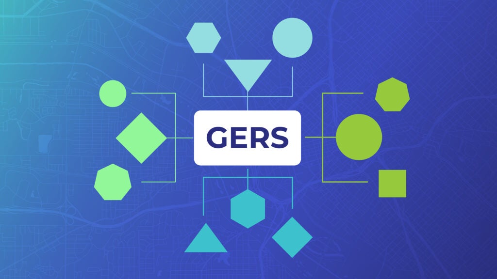
GERS is an ID system designed to make geospatial data interoperability a reality. The system consists of four key components, including the Overture reference map, Data Changelogs, Registry, and Bridge Files, each playing a crucial role, making it easier for users to onboard. Let’s explore each one.
Overture Reference Map: The Foundation of GERS
What it is: Monthly validated datasets that connect GERS IDs to real-world entities.
At the heart of GERS are Overture’s open map data releases. These data releases are carefully validated, consistently structured collections that describe billions of real-world entities.
Each entity in these datasets carries a unique GERS ID. These IDs represent actual physical entities in the world, from the corner coffee shop to the highway you take to work.
Why it matters:
- Open and free: GERS IDs reference elements in a global, open, free, and accessible. There is no risk of lock-in because any ID system can also match with GERS.
- Trusted reference: GERS is supported by a diverse community of nearly 40 organizations, including Amazon, Meta, Microsoft, TomTom, and Esri. These companies have committed to and are dependent upon Overture data.
- Regular updates: Monthly releases ensure your data stays current with real-world changes
How to use it: Download Overture data from AWS, Azure, Databricks, GCP, or Snowflake, or explore it visually on our Explore site. Each feature you download includes its GERS ID, ready for integration with your systems.
Data Changelogs: Track What’s Changed
What it is: Detailed records of all changes between consecutive data releases
The physical world is constantly changing – new buildings are constructed, businesses move, roads are rerouted. The data Changelogs capture these changes at the ID level, documenting:
- New entities added
- Entities removed
- Modifications to existing entities
Why it matters:
- Efficient updates: Only process what’s changed instead of reprocessing entire datasets
- Time savings: If only 200 of your 1,000 matched records have changed, update just those 200
- Transparency: Understand exactly how and why data evolved between releases
How to use it: Access changelogs through our documentation to see what’s changed in each release. Use this information to update only the affected portions of your data pipeline.
The GERS Registry: Your Single Source of Truth
What it is: A comprehensive database of every GERS ID ever created
Think of the GERS Registry as the authoritative phonebook for GERS IDs. It maintains:
- Complete lifecycle information for every ID
- Current location data for active entities
- Historical records for deprecated IDs
- Quick lookup capabilities for ID verification
Why it matters:
- Validation: Instantly verify if a UUID is a legitimate GERS ID
- History: Access the complete lifecycle of any GERS ID
- Efficiency: Quickly “catch up” if you haven’t updated for several releases
- Location services: Find where entities exist both geographically and within file structures
How to use it: For instructions on using the registry, please see the GERS section of our documentation.
Bridge Files: Connect External Data Sources
What it is: Pre-built mappings between GERS IDs and identifiers from other datasets
Bridge files make GERS adoption fast and painless. These are essentially join tables that connect GERS IDs to identifiers from popular datasets like:
- OpenStreetMap
- Meta’s geospatial data
- Esri Community Maps
- And more
Why it matters:
- Instant integration: If you’re using a dataset with a bridge file, connect to GERS immediately
- Transparency: See exactly which sources Overture used to build its reference data
- Flexibility: Create your own bridge files to share with the community
- Time savings: Transform weeks of matching work into minutes
How to use it: Download the appropriate bridge file for your data source, then use a simple join operation to associate your existing IDs with GERS IDs.
Read our bridge files blog post to learn more, and access the files here.
What Does a GERS ID Look Like
GERS IDs use the UUID (Universally Unique Identifier) format. Every GERS ID follows the standard UUID format (e.g., 12345678-1234-5678-1234-567812345678), making them:
- Globally unique
- System-agnostic
- Easy to implement in any database or application
- Compatible with existing UUID tools and libraries
Why it matters:
- Universal compatibility: UUIDs work in every modern database and programming language
- No collisions: Guaranteed uniqueness across all systems
- Standard tooling: Leverage existing UUID libraries and utilities
Learn about UUIDs and get a comprehensive walkthrough of GERS implementation.
GERS simplifies the process of integrating and using complex geospatial data, reducing onboarding effort.
What’s Next?
GERS is ready for production use today. Whether you’re building mapping applications, conducting spatial analysis, or simply trying to enrich your data with location intelligence, GERS can dramatically reduce your integration costs and accelerate your time to value. See how this works in practice with our Precisely case study.
To dive deeper into the concepts behind GERS, read our GERS Whitepaper. For technical documentation on each component, visit our GERS Documentation Hub.
The geospatial industry has waited too long for a solution to the data conflation problem. With GERS now generally available, that wait is over. It’s time to stop paying the hidden tax of data integration and start building the rich, data-driven applications your users deserve.
🔗 Ready to connect your data to GERS?
- 🛠 Do it yourself
- Get started with the GERS tutorial.
- 🤝 Work with onboarding partners
- Our members and ecosystem partners, like TomTom, Esri, Precisely, and Wherobots, offer onboarding services to help you connect faster. Learn more.
🌍 The future of mapping is open, collaborative, and built together.
Join us in making it happen.