By Will Mortenson, Executive Director at Overture Maps Foundation
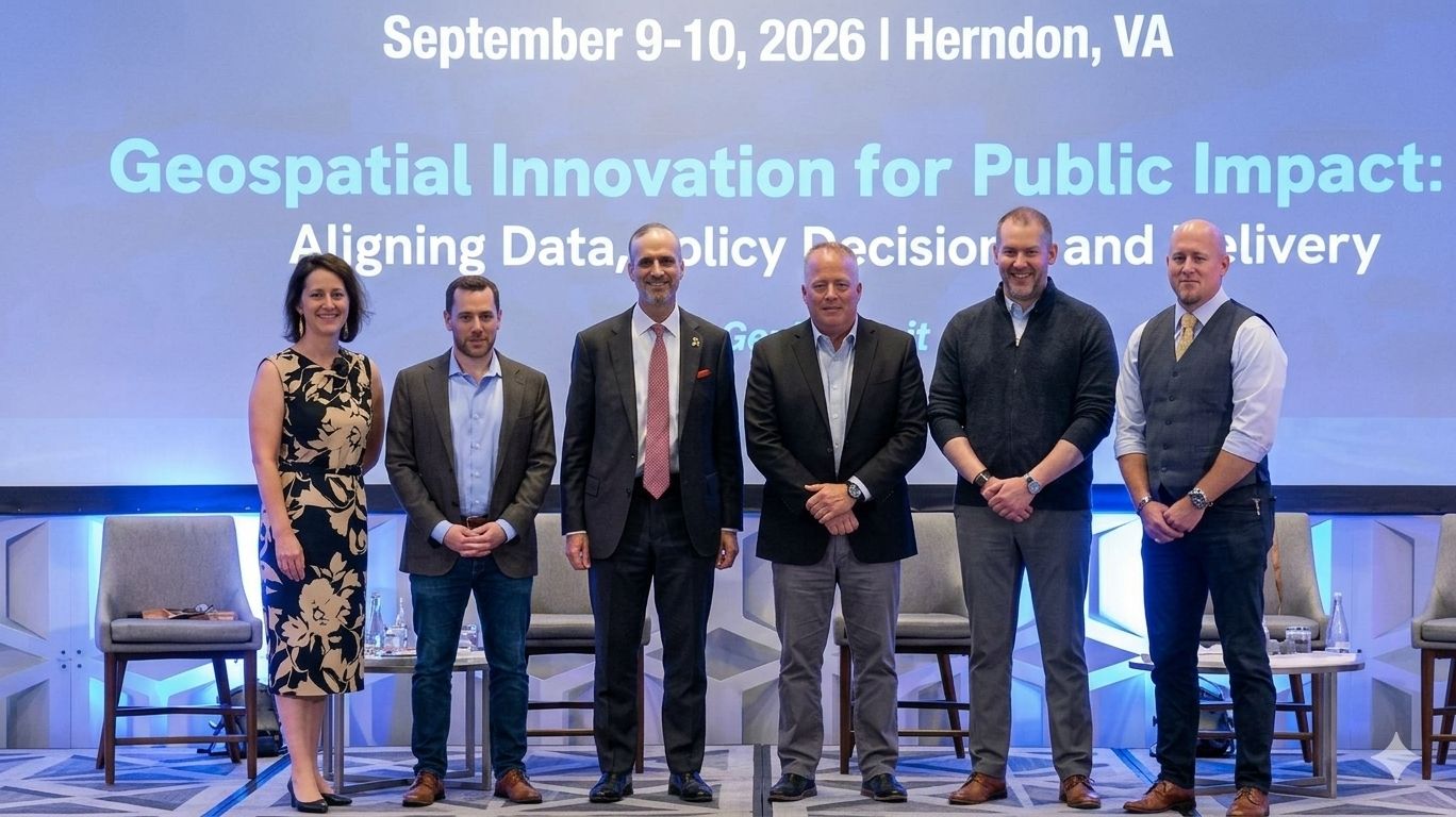
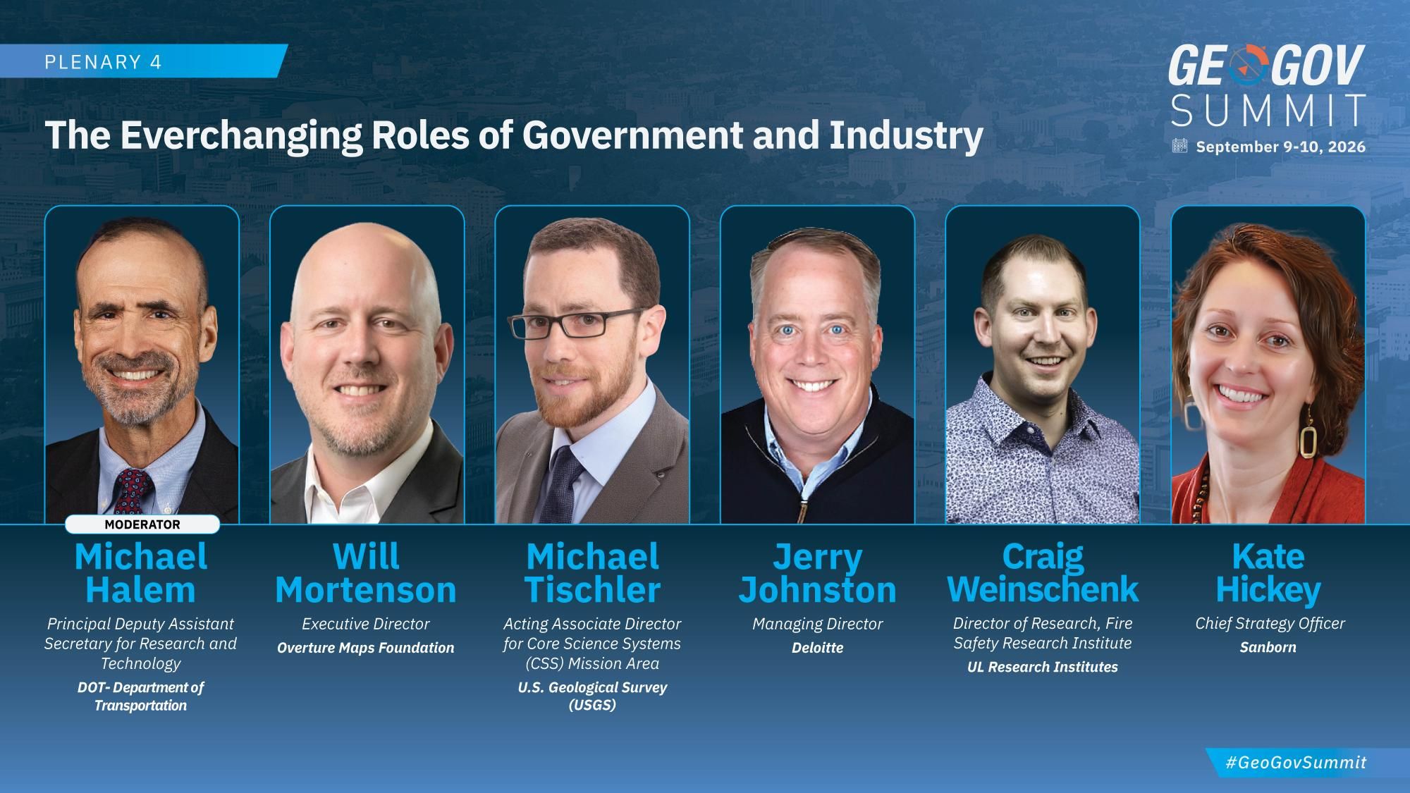
Earlier this month, I had the privilege of joining a panel at the GeoGov Summit alongside leaders from across government, commercial, and research sectors, including Michael Halem (DOT), Mike Tischler (USGS), Jerry Johnston (Deloitte), Craig Weinschenk (UL Research Institutes), and Kate Hickey (Sanborn). We tackled a challenge that is rapidly redefining our industry: The Everchanging Roles of Government and Industry.
 As space, aerial, and ground-based imaging continue to expand at a breakneck pace, the traditional boundaries between government data creation and commercial innovation are blurring. If we want to build a truly resilient, high-accuracy geospatial infrastructure for the future, we have to rethink three core assumptions. Here are the biggest takeaways:
We Need to Redefine “Authoritativeness”
What does “authoritative data” actually mean in 2026? Forty or fifty years ago, government agencies held a near-monopoly on high-end collection hardware. If you wanted high-resolution, global-scale imagery or spatial insights, the government was the only player in town.
That dynamic has flipped. Today, private sector constellations are collecting data that is often equivalent, or potentially better than some legacy government systems. “Authoritative” can no longer be defined solely by who collected the byte; it must be defined by accuracy, freshness, interoperability, and utility.
We Need a New Procurement & Licensing Playbook
Our current procurement models are actively working against us. Right now, public sector entities are constantly replicating, duplicating, and triplicating data purchases across departments and agencies.
Licensing terms compound the problem. Data bought for one purpose often can’t be shared with the agency next door, a local government, or an emergency responder, even when it’s needed most, like during disaster response.
An open foundational layer fixes both. When the base data (buildings, roads, places, addresses) is free to use and redistribute, it gets built once and maintained collectively instead of bought again by every office. Every agency starts from the same reference, so their data lines up and can be shared without renegotiating terms. And budgets shift from re-buying the basics to investing in what each mission actually needs. Procurement should reward that: buy once, share broadly, and treat the foundation as common infrastructure.
What If We Treated Geospatial Data Like GPS in the 1980s?
Decades ago, the decision to open GPS signals to the public transformed global logistics, consumer technology, navigation, and entire market sectors we couldn’t have predicted at the time. We saw entire industries built on a free, reliable foundation.
Why aren’t we treating core geospatial data with that same level of vision?
Foundational map data should work the same way. When everyone can use the basics (buildings, roads, places, addresses), companies and agencies stop rebuilding them and start building on top of them.
An open foundation for map data has to be built together, and that’s already happening. At Overture, companies including Microsoft, Amazon, Meta, and TomTom, are building a shared, open base layer and innovating on what they build on top of it. The next step is bringing government into that effort, both as a contributor of the data only it holds and as a user of the shared foundation.
Building the Foundation Together
Government and industry cannot continue to operate in separate silos, nor can one side carry the entire burden of creating, maintaining, and stewarding world-scale geospatial data.
We need to break down these historical walls and build a shared, interoperable foundation data layer together. At Overture that mission is exactly what drives us every day: building open, reliable, and standardized map data that powers the next generation of applications.
A huge thank you to my fellow panelists and the GeoGov Summit organizers for a vital, forward-looking discussion. The tools to build a better geospatial ecosystem exist, now it’s on all of us to change the rules of engagement.
Get Involved
Want to continue the conversation? Connect with me on LinkedIn, join the Overture Maps community to help shape the future of open geospatial foundation.