
Blog
May 15, 2025 |
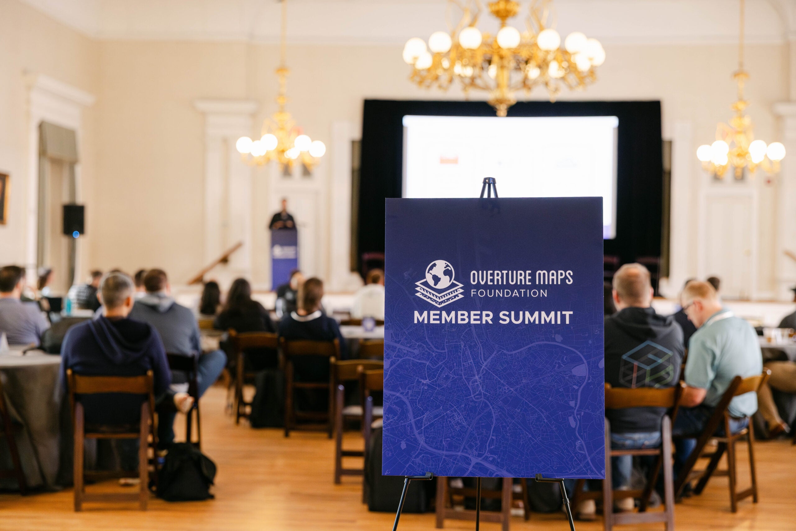
Overture Member Summit 2025 Highlights: Transforming Map-Making Through Collaboration
The second annual Overture Member Summit recently brought together more than a hundred people from 30 member organizations in Charleston for three days of collaboration and progress. The energy throughout the event was remarkable, with members engaged in early morning sessions to late-night discussions about everything from Brussels sprouts to…
Apr 29, 2025 |
Why We Chose GeoParquet: Breaking Down Data Silos at Overture Maps
In today's data-rich world, the geospatial community faces unique challenges in storing, processing, and sharing this data at scale. As mapping datasets grow in complexity and size, traditional file formats struggle to keep pace with modern cloud environments and distributed computing needs.
Apr 1, 2025 |
Overture Maps Foundation at GeoBuiz 2025: Eliminating The Conflation Tax on Geospatial Data
The geospatial industry faces a critical challenge: we're drowning in data but starving for efficient ways to use it. A recent panel at GeoBuiz 2025 revealed how open map data collaboration might be the solution we need.
Mar 11, 2025 |
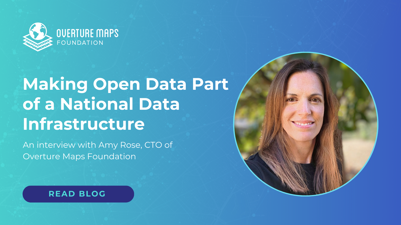
Making Open Data Part of a National Data Infrastructure
Amy Rose was recently named the first CTO of the Overture Maps Foundation (Overture) and will lead Overture’s work in making its datasets interoperable and accessible to all kinds of users. She has also recently been appointed to the federal government’s National Geospatial Advisory Committee (NGAC), where she’ll join others…
Mar 4, 2025 |
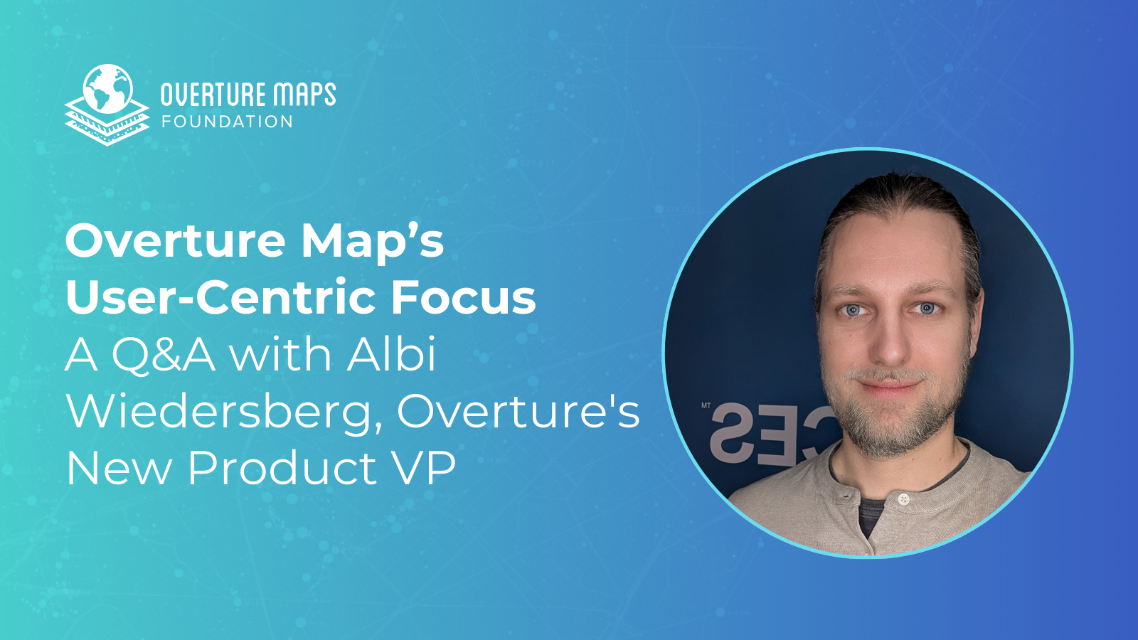
Overture’s User-Centric Focus – A Q&A with Albi Wiedersberg, Overture’s New Product VP
Albi Wiedersberg was just named VP of Product Management at the Overture Maps Foundation, where he’ll extend his existing work on meeting user, partner and member needs. The creation of the VP of product role continues Overture’s focus on filling out executive ranks in its third year of operation as…
Feb 18, 2025 |
Overture Maps Foundation: Making Open Data the Winning Choice
Overture Maps Foundation (Overture) was formed in December 2022 to address a pressing need for reliable, interoperable open map data. The vision was intentionally huge and transformative for the mapping industry, and, while much work remains to be done, the team has been making that vision happen, piece by piece.…
Feb 10, 2025 |
Building Platform-Agnostic Infrastructure: A Story of Collaboration at Overture Maps Foundation
At Overture Maps Foundation, collaboration is at the heart of everything we do. While our data releases and Explorer tool represent visible progress, there's an equally important effort happening behind the scenes: transitioning the data pipelines from member companies to Overture’s platform-agnostic infrastructure. This isn't just a technical migration —…

Jan 27, 2025 |
Building the Overture Addresses Data Theme
Overture Maps Foundation (Overture) was established two years ago to create reliable, easy-to-use, and interoperable open map data for both commercial and non-commercial purposes. Several data themes were launched, including Addresses, Base, Buildings, Divisions, Places, and Transportation. About a year ago, a task force dedicated to addresses was formed to…
Jan 7, 2025 |
Overture Maps Foundation at OGC Events 2024: Championing Open Data and Interoperability
In early December, the OGC@30 Anniversary Celebration and OGC Innovation Days DC 2024 brought together geospatial experts from government, industry, and academia under the theme Spatial Data Infrastructure (SDI) Futures. This premier event explored the transformative potential of geospatial technologies and the evolving role of interoperability in building scalable, accessible…
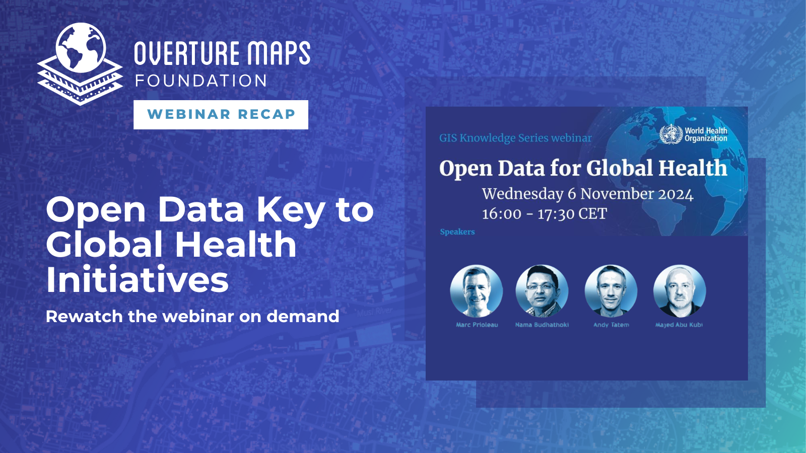
Nov 25, 2024 |
Open Data Key to Global Health Initiatives – Recap of the WHO Panel
The world of mapping is often thought of in terms of roads, transportation, and helping people get from one place to another. But being able to map other factors — such as where people live, where populations are especially dense, where disaster-prone areas lack roads, where people have been vaccinated…