The conversations we had at the 2026 Esri User Conference (Esri UC) pointed to something real: more teams across more sectors are reaching for open, standardized spatial data.
On the plenary stage, an Esri team member ran Overture Places live in ArcGIS Online – 43 million points rendering in real time, joined against roughly 200,000 US census block groups. That Places layer was built with ArcGIS Data Pipelines, the same no-code workflow any ArcGIS user can run.

That demo wasn’t a one-off. Steve Moore – Senior GIS Engineer at Esri and chair of Overture’s Map Data Working Group – led a technical session walking ArcGIS users through getting Overture data into workflows they already use: GeoParquet support in ArcGIS Pro, the no-code Data Pipelines path, DuckDB for the SQL crowd, and the Overture Explorer for a quick grab.
The part that got people talking was parquet feature layers, a new ArcGIS Online layer type that entered beta just before the conference. In one demo, all 2.5+ billion Overture building footprints sat in a single layer that pans and zooms smoothly anywhere on the globe.
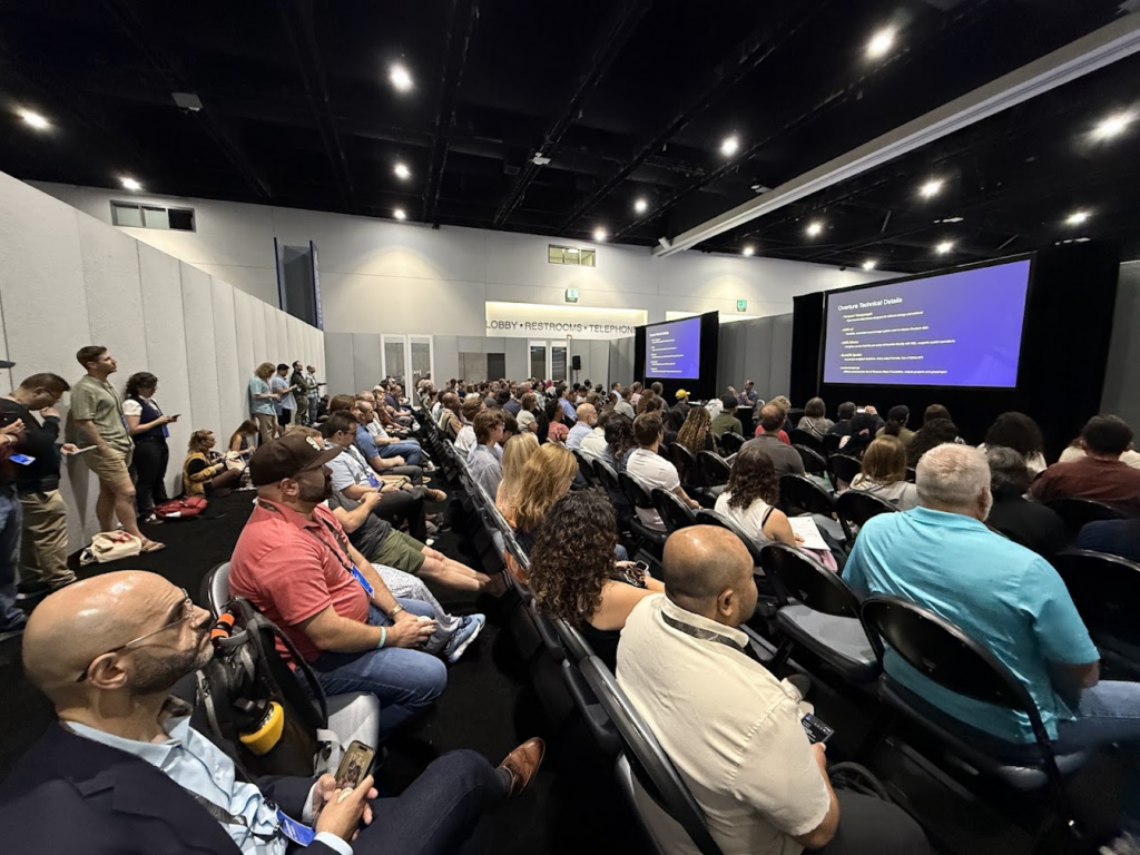
At our booth, we talked with government representatives, enterprise builders, and independent developers. The range was wide: provincial and national agencies looking for data-sharing mechanisms, GIS for Good advocates, and commercial developers building AI tools on Overture base layers.
The interest was concrete – strong engagement from state and local government and universities, and several organizations offered engineering help to speed up our data processing, Places especially. We also heard a clear appetite for contributing data back as Overture extensions. We’d love that.
Two questions kept coming up:
Why do organizations collaborate on open map data?
Members pool resources into an open base map built on one shared schema. Doing the structural work together means the heavy data processing happens once instead of being duplicated across competing engineering teams. That lowers the cost of keeping a base map current, which frees members to spend their effort on the proprietary layers and product differentiators they build on top.
Through GERS (the Global Entity Reference System), physical entities get persistent, universal IDs. Instead of datasets sitting in isolated silos, organizations can link separate spatial sources reliably and stitch them into a fuller map with global coverage.
Put simply: open map data becomes a shared, stable way to reference physical space. That lets organizations stop wrestling with raw data integration and move on to the analytics, spatial intelligence, and applications they actually care about.
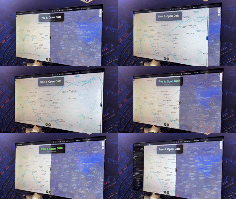
How is Overture building open spatial infrastructure for AI?
As agents and LLMs start handling spatial queries directly, they need accurate geographic ground truth. Without a stable reference framework, generative models make spatial errors and hallucinate – at scale.
This is where the shared foundation and GERS come in. GERS works as a persistent reference framework for physical space, assigning universal IDs to entities like points of interest, building footprints, transportation networks, and administrative boundaries. AI pipelines can anchor to those stable GERS identifiers, trading probabilistic guesswork for direct links to real-world entities.
We’ll be honest about where this stands: it’s early, and the tooling is still maturing. But the direction is one we’re confident in.
Bridging open data and enterprise workflows
Beyond the sessions, Esri UC showed what the network can do. Members use Overture as neutral ground for peer-to-peer work, joint technical projects, and expanding the ecosystem. Our conversations with international data providers and public agencies keep growing, which opens a path for authoritative regional data to flow straight into the global Overture base layer.
One example from the booth: an ArcGIS demo built by Ryan Lopez, Senior IT Analyst at Fresno County. Ryan pulls Overture data to enrich Fresno County’s own data, giving him a much richer dataset – one that can be shared with emergency services to map better routes through genuinely difficult terrain. That’s the kind of thing we’re here for.
Work like the Places Imagery Task Force keeps chipping away at positional precision, entrance identification, and attribute accuracy. This data isn’t perfect yet, and we won’t pretend otherwise – but it’s getting better, and much of that is because of contributors doing the unglamorous work.
Building the Future Together
The move toward open, interoperable, machine-readable map data happens because people show up and participate. Whether you’re a city planner aligning municipal infrastructure, a mobile developer adding location features, or an enterprise team grounding AI agents in physical reality, Overture gives you a structured base layer to build on. It won’t do everything – we’re the foundation, not the finished product – but it’s a solid place to start.
Come build with us. Here’s how to take the next step:
- Explore Overture’s vision for open spatial data and location grounding.
- Join Overture and help shape the knowledge layer. Visit the Overture website to learn how your organization can become a member.
- Dig into our reference data and system through the developer documentation.
- For the latest schema releases and AI tooling, sign up for the monthly newsletter or follow Overture on LinkedIn, X, and Bluesky.