
Blog
Jun 10, 2026 |
Inside the 2026 Overture Member Summit: The Road Ahead
In April, 30+ member organizations gathered in Florence for the third annual Overture Maps Foundation Member Summit. Three days, 28 sessions, and the most renewed version of Overture we've felt yet. The room held members who've been with us since the beginning alongside first-time attendees. We connected on the rooftop…
Jun 4, 2026 |
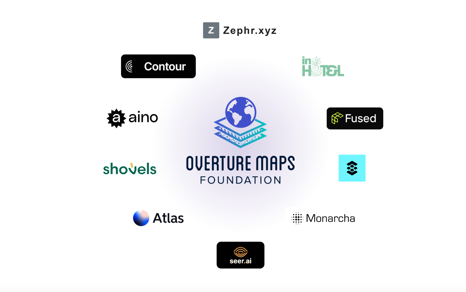
How 10 AI Startups are Grounding AI in the Real World with Overture
Artificial Intelligence is fundamentally transforming how we search, analyze, and build. But as developers push LLMs into more complex enterprise applications, they keep running into a fundamental blind spot: LLMs hallucinate when reasoning about physical space and location. Why? Because while LLM providers scrape the internet for text to pre-train…
May 27, 2026 |
Powering Microsoft Maps with Overture: Faster Releases, Better Data
Microsoft is one of the founding members of Overture, working collaboratively to high-quality, freely available, open map data so everyone can build better maps, faster.
May 21, 2026 |
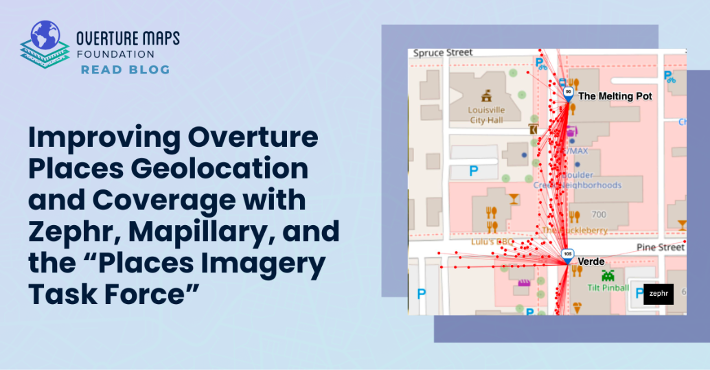
Improving Overture Places Geolocation and Coverage with Zephr, Mapillary, and the “Places Imagery Task Force”
If you have ever followed a map to a storefront only to end up standing in an empty parking lot, you have experienced the limits of traditional geocoding. Like other commercial and open Point of Interest (POI) datasets, Overture Places has historically relied on standard geocoding approaches - but these…
May 18, 2026 |
Open Spatial & Location Grounding for AI
LLMs are highly capable at many things, but understanding the physical world isn't one of them. Today, ChatGPT recommends just 1.2% of all local business locations, and 83% of restaurants are completely absent from AI-generated recommendations. For AI product managers and engineers building agentic workflows, this is a practical hurdle.…
May 12, 2026 |
The Billion-Dollar Data Trap: Why Building Your Own Map is No Longer a Viable Business Strategy
In the current tech landscape, we are witnessing a paradox. We are in the midst of a generational "AI arms race" that demands unprecedented capital investment, yet the era of "growth at any cost" has been replaced by a ruthless focus on efficiency. The recent wave of high-profile restructuring across…
Feb 3, 2026 |
Three Years In: How Overture Maps is Changing the Way the World Builds Maps
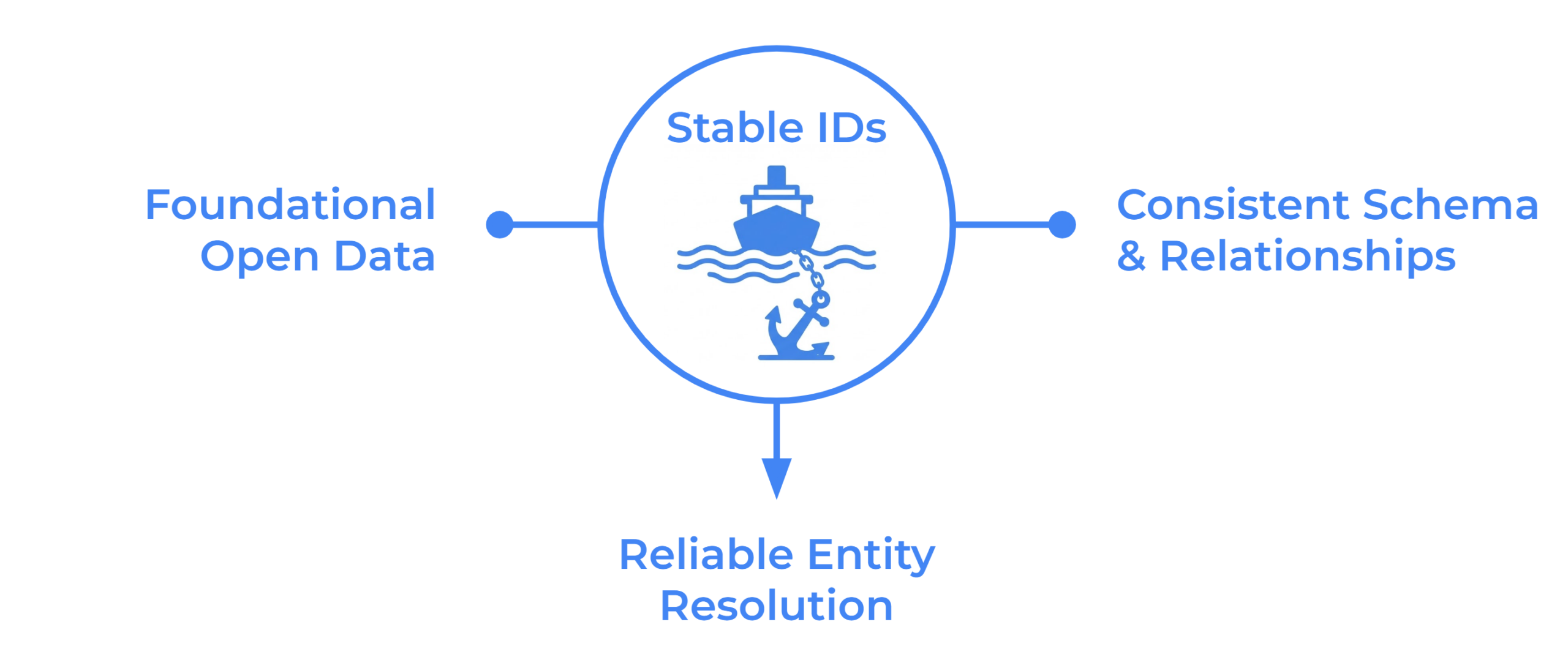
Overture creates a common foundation of map data. We bring together open data from crowdsourced, government, and machine learning sources, then do the work of normalizing it to a single schema and conflating it so you don't have to.
Jan 29, 2026 |
GeoBuiz Summit 2026 Highlights: Collaboration, Interoperability, and Infrastructure
Overture Maps Foundation participated in GeoBuiz Summit 2026 from January 12 to 14, joining leaders across industry, government, and academia to discuss the future of open, interoperable geospatial data and the shared infrastructure needed to support it.
Dec 11, 2025 |
Overture Maps Explained on Software Engineering Radio
The Overture Maps Foundation is now three years old, and we’ve met every milestone we’ve set out to meet. But there’s still much more to come. Please enjoy this interview with Software Engineering Radio’s Gregory Kapfhammer and Amy Rose, Overture CTO, and Jennings Anderson, software engineer at Meta. It is…
Dec 1, 2025 |
From Discovery to Action: A New Foundation for Travel
Imagine asking an AI agent to book a hotel. The agent books the room, finds restaurants you like, a concert venue nearby, and lines up ground transportation. This smooth, integrated experience is the future of travel. Today, it is nearly impossible.